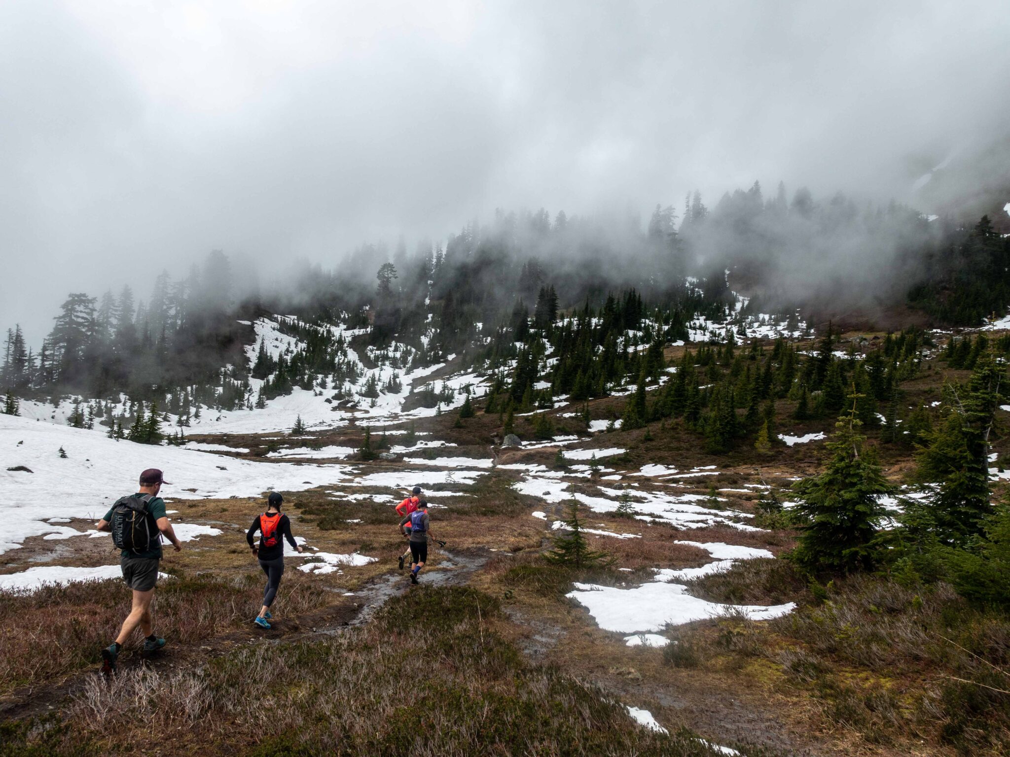
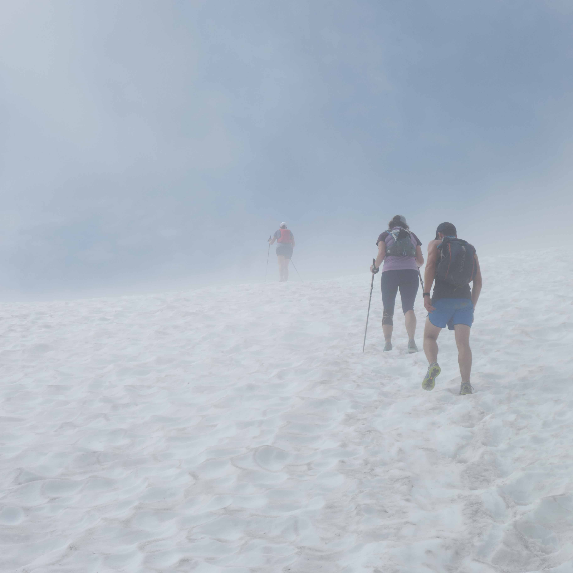
Every year around early May, the daydreams start climbing with the temperatures toward the alpine single track of high summer. Meanwhile, running in the spring mountains often means running in winter conditions, complete with snow and frigid weather. That is, unless you do your research.
Resources for scouting snow levels from home are more sophisticated than ever. With the right tools, runners can uncover those spots that melt out first, stay dry, and run easy. We use a handful of trusty resources when planning early season trail running adventures in higher elevations. We’ve shared them here as a resource to propel your adventures.
1) Basic Considerations
If you’re anything like us, you can get LOST in research online. Before you dive in to the web, dust off the paper maps and start dreaming while you look for the following details:
-Generally speaking, lower elevation means less snow, sooner.
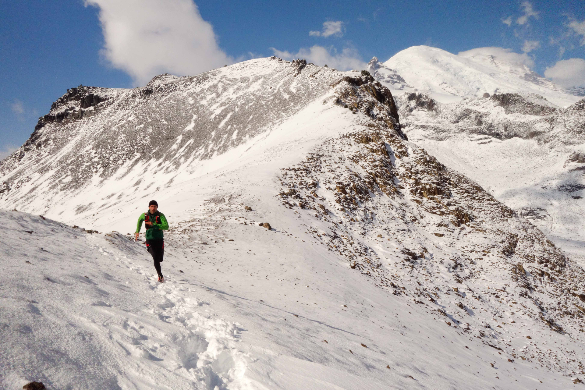
-Look for trails on the south facing aspect of a mountain, where the slope is exposed to the sun throughout the day.
-Consider areas in the rainshadow, where snow accumulation may be lower. Microclimates can be your friend!
-Snow can linger in forests well after it melts off open hill sides, so consider trails in areas with less tree cover.
2) Check Local Trip Reports.
Once you’ve got some places in mind, the first line of exploration in the research arsenal is trip reports.
In WA state, we love Washington Trails Association’s page here. You can search through recent trips and/or search out a specific trail and read recent reports. Valuable info on trail conditions found in these reports can make your trip a success.
Outside of Washington, Summit Post is a great first stop and hosts a similar, searchable catalog of trip reports usually geared towards peak bagging. Local hiking groups are also a great resource.
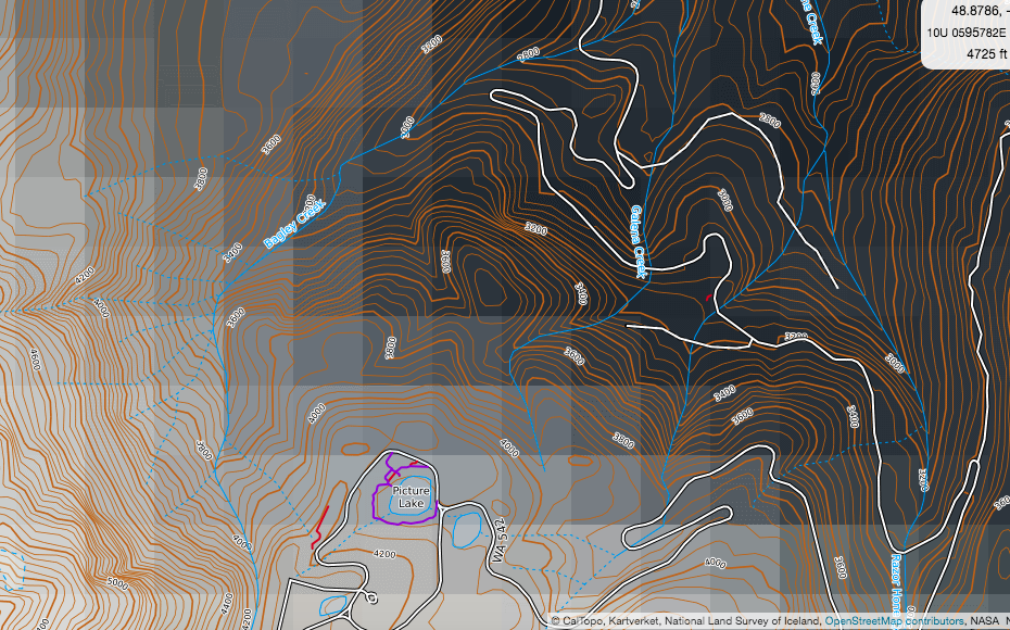
3) Utilize CalTopo layers.
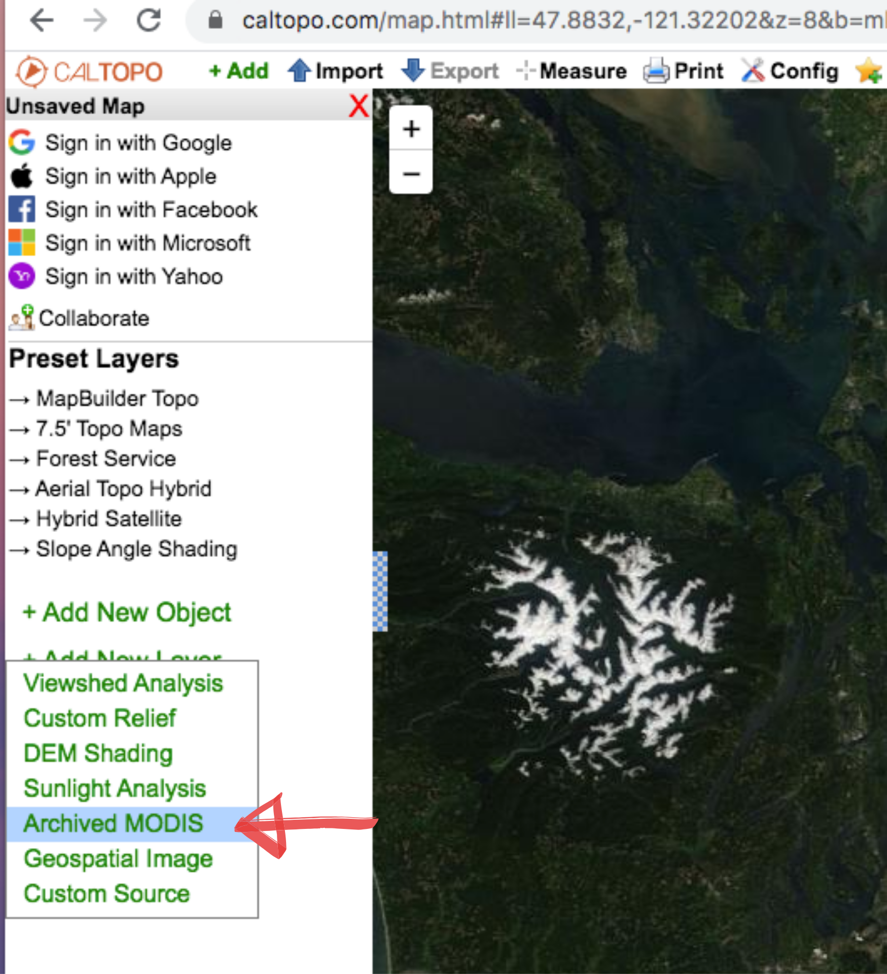
CalTopo is a powerful backcountry mapping tool that allows you to explore and plan your trips with a wealth of information. You can add layers to show land management boundaries, slope aspect, and important here, recent satellite imagery from NASA via the MODIS layer.
Here’s how:
-Go to CalTopo
-Below ‘Preset Layers’ on the left toolbar, select ‘add new layer’ and then select ‘Archived MODIS’. A pop-up will then give you an option to select the day you wish to reflected in the layer, giving you incredibly recent intel.
-You can now select other layers, some of which (like the ‘hybrid satellite’ layer) you can combine with the MODUS layers to gain a better understanding of where you’re likely to find snow, or not.
4) Check SnoTel data.
There are over 700 SNOTEL sites scattered across the American West. These are remote backcountry weather stations that are constantly recording and transmitting weather data from deep in the mountains. Through reviewing a map of SNOTEL sites, finding stations near your desired destinations, and reviewing the 7 Day Hourly Table for those sites, you can gather data about the general area you are considering.
SNOTEL data includes hourly readings of snow depth, snow water equivalent, and temperature.
5) Go prepared.
We couldn’t write a post on springtime alpine trail running without emphasizing the importance of what’s in your pack.
Make sure to leave the car prepared for the unexpected. Along with the 10 Essentials, consider a little extra food and microspikes and/or an ice axe for use in case your route proves tougher than expected.