Wild conditions on the River of No Return Stage
The 2022 Aspire calendar boasted our very first multi-sport trip, a raft/run excursion down Idaho’s remote and legendary Middle Fork of the Salmon River. As the lead guide for the trip, I had long been looking forward to a week away from cell service in the Frank Church-River of No Return Wilderness, collaborating with the river guides to create a unique experience for our runners and their families on the boats. By June, however, it was clear that conditions in the mountains had other ideas.
Flood Stage
A week before we were set to launch, runners received an email from Kelsey Helfrich, owner of Helfrich River Operators, explaining that with the surrounding mountains at 300% of average snowpack, the river was running at 6.5 ft, … dangerously high. Due to the increased safety risks associated with high water (more intense rapids, debris in the river, and with these an increased risk of drowning), they were canceling the trip. Given that the search was still on for the body of a rafter who’d attempted the river a week before, the cancellation was hardly worth questioning.
Immediately my phone began to buzz with an incoming call from Abram (Aspire Course Director).
“What do you think of an air-supported alternative?” he asked.
“Like, we get heli-dropped?!” I responded, immediately intrigued.
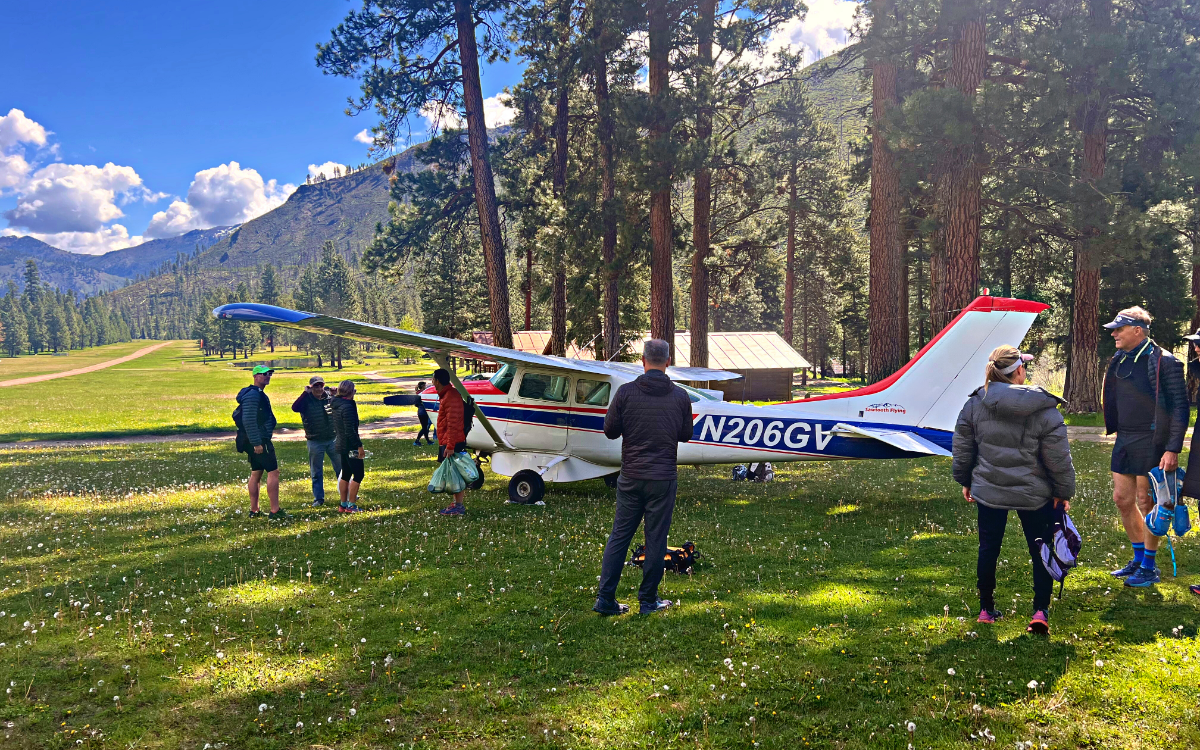
The plan he proposed involved using Bi-planes supplied by Sawtooth Flying Service to drop runners off at one of the primitive airstrips which dot the river to access the basecamp and trail system for four days of exploring.
“This sounds like a PROPER adventure! Let’s do it.” I replied.
Abram laid out the options for participants: runners could use trip insurance to reimburse their trip, take a partial credit that could be put towards a future trip, or join us for the air-supported alternate trip that promised to be both unique and wild. We needed only 6 runners to say yes to the plan and by the end of the night, we had 8. We were going to Idaho.
Preparing for Take-off
Stanley, ID is a tiny town set in a sweeping valley under the jagged Sawtooth Mountains. The power of the Salmon River pulses through this town: its bars crowded with river guides and its streets dotted with outfitters. This infectious energy makes it a perfect jumping off point for adventure.
Runner’s met up at the back porch of River One Outfitters, looking over the rushing main fork of the Salmon River for orientation with the river guides. Evening presented the opportunity for a visit to Mountain Village Resort’s private hot spring, and runners returning from the pools wore that spiritually refreshed look that only the inner Mountain West can offer. After a quick stop at the Stanley Bakery, a refreshingly modern cafe featuring quality baked goods, runners showed up on the runway energized, looking toward the distant Sawtooth Range with anticipation. During orientation, Kelsey had informed us that Sawtooth Flying was her first choice for flights through the region because “she prefers pilots who know what they’re doing over pretty planes and clueless pilots.” Indeed, this squad of pilots had seen some time in the air, as had the planes. Anticipation and nerves were palpable as the pilots loaded our baggage and divided the group by weight into the small prop planes. As opposed to larger passenger planes, you can FEEL the force as these planes take off. White knuckles gripped seatbacks as our planes took off and rose over Stanley toward our 26 minute flight to Pistol Creek.
Heading Down River
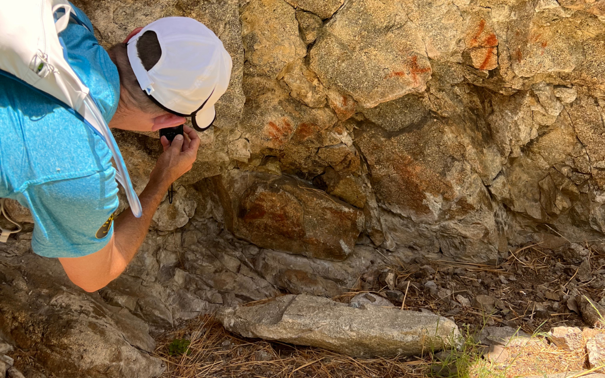
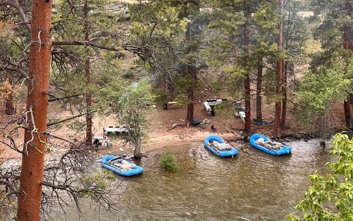
Our initial run took runners ~15 miles down river from Pistol Creek to our basecamp at the Little Creek Campsite. These were CRUISER miles, almost exclusively downhill along the river, with side canyons to explore and eddies for dipping in when runners needed a break from temps in the upper 70’s and low 80’s. Side canyons offered mines to explore and petroglyphs to investigate. At basecamp we foundTim Gunderson, the lead for Helfrich’s team of river guides who was cracking into appetizers and slicing salami as we rolled in. The rest of the river guide team had braved the more treacherous reaches of the upper middle fork for a High Water Training, bringing the tents and kitchen equipment down with them. They arrived that night and unpacked camp like they could do so with their eyes closed. With their whole team at camp for the evening, I started up conversations with the guides about the surrounding high country.
Planning for the Unknown
The joy and challenge of this unplanned reroute was gathering beta on Idaho’s notoriously remote and rugged backcountry and transmuting that information into an enjoyable experience on trail for the runners on the trip.
As the saying goes, “the map is not the place,” and the river guides held most of the knowledge I would be able to glean before heading out for the week’s excursions. As we sat down to dinner, I presented our routes to runners, providing the details and information I’d been able to gain and deduce from studying maps and probing the guides about their experience on land through the Frank Church/River of No Return Wilderness.
Our next three days would be filled with exploratory runs up canyons to ridgelines we had scouted only days before, and only on Gaia GPS’s online mapping software. We laid out the week to gather information as we went. Our first day’s route would tell us a lot about conditions in the canyons, and snow levels up on the ridgelines. Day 2 offered a 14 mile run to the Mahoney Creek Lookout which we could see was snow free from camp and from which we could gather quality beta for the following day’s route up to the ridgelines across the river. Depending on Thursday’s beta, runners were provided with two options for the final day: an exploration up the Marble Creek Drainage and return for an afternoon in the hot springs, or a larger exploratory run up Cougar Creek, covering 27 miles of Idaho wilderness, incurring 6700’ of elevation gain and some sections of “mystery” trail on which we had no beta.
With runner’s prepped, we spent the night enjoying the company of the river guides and the sound of the river before turning into our tents. Adventure awaited.
Route #1
As we took off up Thomas Creek the following morning, we passed a work crew setting off on the trail who warned us of landslides up the trail, before expressing excitement about gathering beta from us after our return. We came to the landslide about a mile on, the side of the hill crumbling downhill into the river, but runners made quick work of the obstacle before continuing on.
Crossing Thomas Creek there was no choice but to plunge into rushing knee deep water Wet feet would prove to be the name of the game as the trail continued alternating between rock, mud, and becoming a creek itself.
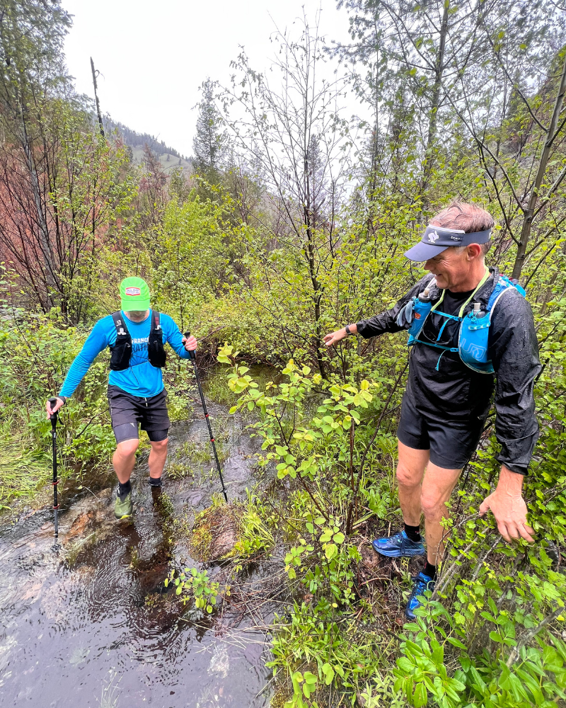
“Are we having fun yet?” While it was certainly an adventure, bushwhacking through thick shrub in ankle deep water is not everyone’s idea of a great time. Following the check in and a reminder that hotsprings awaited for anyone who wished, the group split up, with a small group continuing on the route, and the rest returning to camp for lunch and a soak in the springs.
For the three of us that carried on, the trail eventually climbed away from the creek up the dry hillside of a burn zone, where we were able to pick up the pace for a few miles before breaking at the junction of two drainages for a snack. As we sat and enjoyed the sun, something caught Adam’s eye.
“Morels!”
Indeed, hundreds, no, thousands of them!
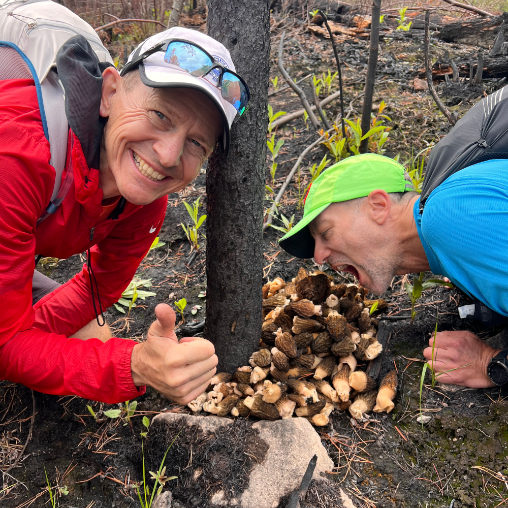
There’s a defined THRILL to discovering a patch of morels, and the pure volume we were looking at pulled us into an hour of foraging the hillsides. We collected more than four pounds and tied them up in my Houdini before continuing to explore up the trail for a few miles more.
We didn’t make the ridgeline that day to complete the loop, but we learned a few things: the morels in the Thomas Creek drainage are profoundly plentiful, and the Idaho backcountry is rugged, not inclined to give up miles without a fight.
Route #2
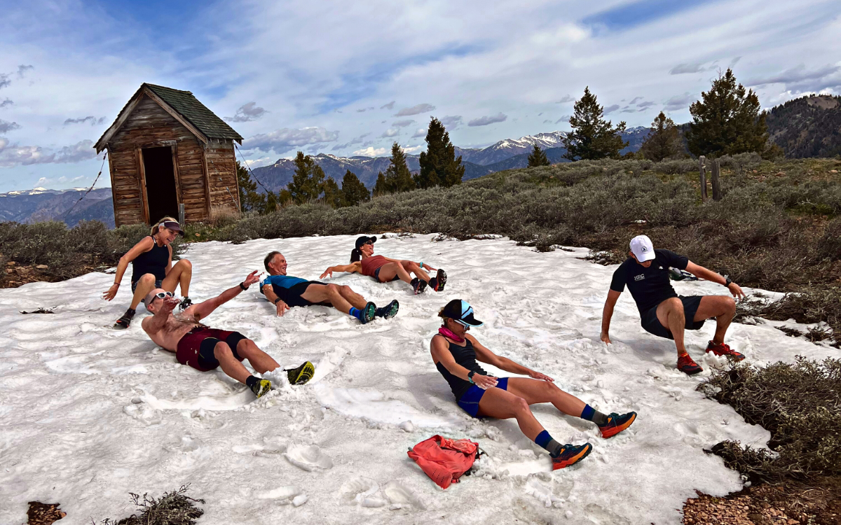
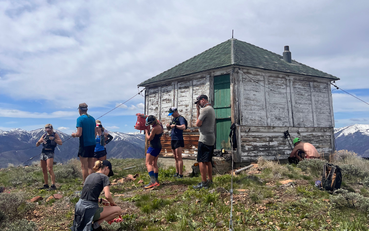
Day Two’s plan was clear cut: follow the trail above camp up along the ridgeline to the lookout, soak in the views, and then return to the river for hot springs and food. Fortunately, the ridge trail was clear of the shrubs and brush that had made travel on the previous day’s route tedious, and was instead covered by a brilliant showing of wildflowers. We climbed the seven miles to the lookout as the Idaho sun shone across the vibrant mountainsides of the Sawtooth Range.
From the lookout, we were able to confirm that ridges we had been considering for the final day’s route would go… minimal snowfields and promising open mountaintops awaited.
On the descent back to the river I took a detour and swung through camp, swiping cold beverages and snacks and packing them out to a birthday party soak at the Sunflower Flat Hot Spring. The springs, redubbed “Gucci Springs” by the group, feature multiple soaking pools 10’ above the river, and a steamy waterfall that drops directly into the Middle Fork… a place I’ll return to in dreams when the PNW’s drippy, cold winter rains set in.
Route #3
On Day Three the group split, with the party pace squad heading up Marble Creek and enjoying some extra time at “Gucci Springs”, and the motivated runners heading out for 27 miles of unscouted trail up Cougar Creek to the ridgeline, and then out the Little Loon drainage back to camp.
I went out with the motivated squad and rambled down 5.5 miles along the Middle Fork. Each corner unveiling new rock formations and gorgeous hillsides. Reaching Cougar Ranch brought us to our climb up to the ridge – 7 miles and 4,100’ of climbing and we would make the ridgeline that had called to us all week. After the long, sun-exposed climb, we reached the ridge at 7400’ and the mountain breeze cooled us off. We enjoyed several miles of ridgeline runned to Castle Rock, and the beginning of our downhill out the Little Loon drainage back to camp.
Mountain runners often expect the downhill to be generous with the clock, allowing us to cover ground quickly and find our flow state. Almost immediately after dropping down off the ridge, it became apparent this would not be the situation for us. The trail quickly feathered as we passed through a burn zone, and we began more active navigation as we picked the best lines through Idaho’s sharp, pokey undergrowth. This proved to be slow going, but as we reached the canyon bottom and joined up with the Little Loon trail, we held up hope for clearer travel ahead.
It would not be so.
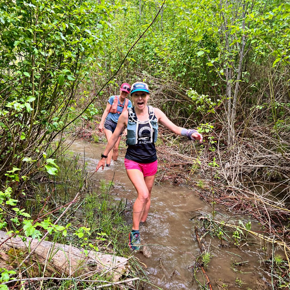
Little Loon Canyon was gorgeous, a braiding “creek” winding through an idyllic valley, but the trail down the canyon crossed the creek many times. Water levels at this point were still rising, and had turned the creek into a rushing torrent none of us were keen to cross. Avoiding the crossing meant bushwacking and scrambling boulder fields alongside the creek, navigating landslides, and praying the rattlesnakes had taken up residence elsewhere for the day. Treacherous as this was, we continued downstream avoiding the crossings, sometimes traveling only 1 mile per hour.
Then the canyons began to close in, and I could see on our topo map profile that the creek would pass through tight channels with cliffs on either side. A few miles from our junction with the Middle Fork Trail, the terrain asserted its will, forcing us into a crossing of the creek.
I stepped into the flow and felt the icy waters wrap around my scraped-up legs and rise to my waist, choosing a line where the river was wider and without holes and boulders. I signaled to the group to unstrap their chest straps and link up, pointing to our exit on the far side of the crossing, and in we went. The flow was strong enough to make crossing a challenge for the lighter members of our group, but we crossed without incident. Having broken the threshold, the next few crossings proved, while still challenging, less imposing. We utilized what nature provided, propping downed trees across the creek for stability and supporting each other, only to dive back into the brush on the other side. When the trail finally spit us out onto the junction with the Middle Fork Trail, our group laughed, cried, and swapped high fives. We had just passed through some proper type two fun, and the bonds that formed while waist deep in the creek were palpable now that we were out of the thick of it. I sent an Inreach message to the team back at the campsite, “These runners are going to want showers tonight, eta 90 minutes”, and we took off. It had been an epic day.
Unexpected Magic
While recounting our adventures over dinner back at camp, the river guides let us know that a storm was moving in, bumping our pick-up time for the flight out of the canyon up to 11am. We planned for our run downriver to the pickup spot accordingly, setting alarms and packing up before bed. Upon awakening in the morning, however, we learned the storm was pushing in more quickly and after conferring, we decided to forgo the days run in exchange for a pick-up directly from camp, rather than risking the storm making pick-up impossible downriver and trapping us on the river for 2-3 extra days.
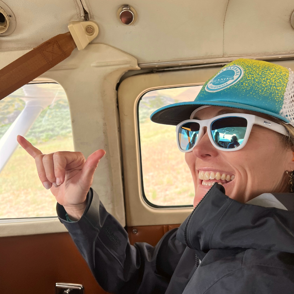
What was one more alteration during this freewheeling week of adventure? By the time the pilots made it onto the Thomas Creek airstrip, the storm was right on their heels, making for an exhilarating flight out through rain and sleet in the six-seater planes, but we got there in one piece, stepped foot on terra firma and concluded a trip full of incredible moments.
Departing from the scheduled itinerary opens us up to new experiences by default, and the exploration and celebration on the Middle Fork this year made for an incredible reward for the risk. The squad of runners who joined for the alternate River of No Return trip this year were down to roll with the unexpected, thus experiencing the magic of the Middle Fork in a unique way.
Explore the River of No Return Multi-sport Stage Run.
Trent Banks is a senior guide and marketer for Aspire, as well as a DJ and event producer, and father of two daughters, based out of Bellingham, WA. He joined the Aspire crew in 2018.
Listen to his Spirit Ventures DJ mix series, inspired by and made for trail running.

